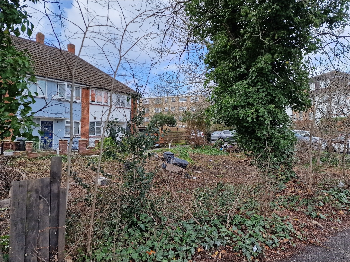
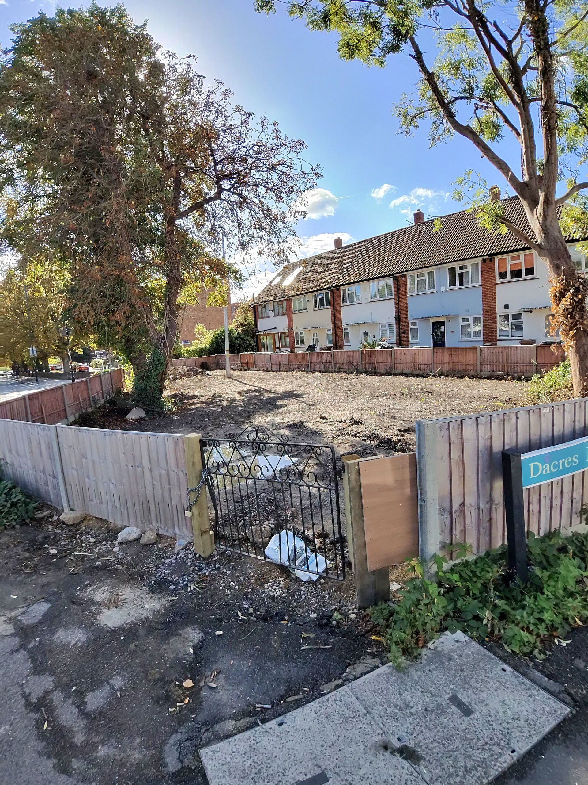
That area in front of the houses wouldn’t be suitable for a house as it would adversely impact the residential amenity of the existing houses.
I can’t work out how it was laid-out prior to the unauthorised development, not least because Google maps StreetView has blurred it out on all of its historic images.
It’s a very odd one, but it would seem logical that there were long-ish front gardens, maybe with parking and a shared crossover.
That’s what I thought. Initially I saw it cleared and thought the houses were finally getting it back as some open ground out front.
But I have never been able to find any planning (or official address) for the location. All very confusing, but someone went to a lot of effort to take ownership and put it to use (kinda)
I first moved here in 1978 and it was unkempt land even then. Although the telephone people manged to put a pole in there so presumably there’s a duct to it. There are a number of houses built partially below ground in the area so maybe a house could be built which isn’t tall and doesn’t obscure the sightlines from the row of houses behind it.